We’ll show you how to use Google Maps for measuring lawn size step by step.
Learn how to take lawn measurements using Google Maps for any property.
5 Minutes 5 minutes
Open Google Maps

Go to the Google Maps website on your computer. The process is the same for mobile devices.
Find Your Lawn
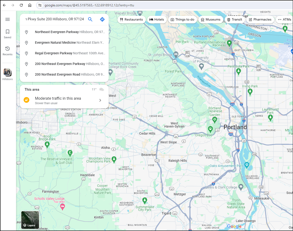
Enter your address in the search bar and press Enter. This step might take a few tries if you’re unfamiliar with the area or the satellite images are unclear.
Select satellite as the layer
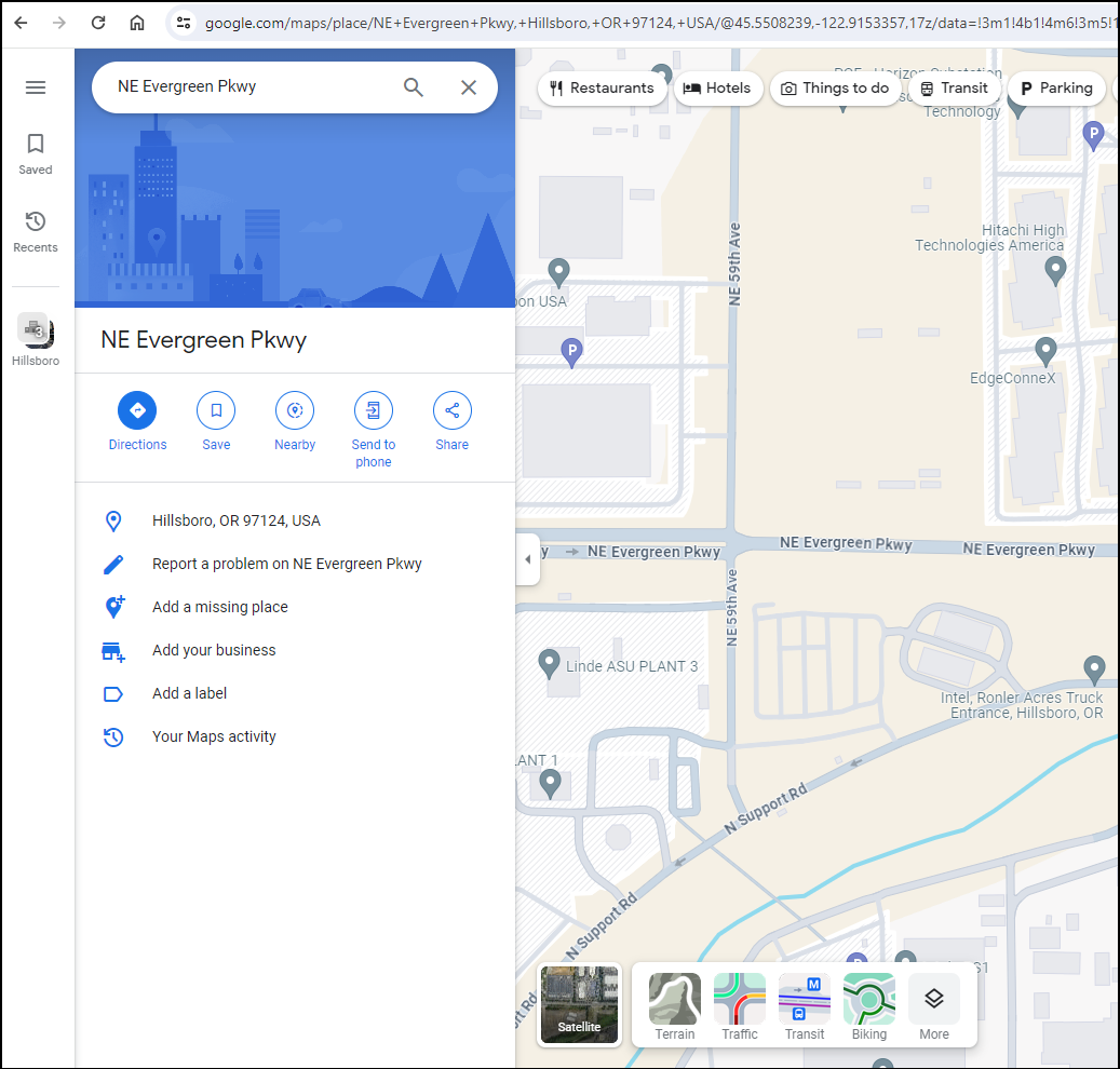
From the bottom left, click on layers and select satellite. This will help you see your property clearly.
Zoom in to see your property
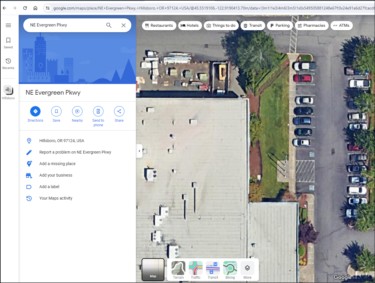
Zoom in until you can see your lawn. This might be tricky if your lawn is not a perfect rectangle or square, but try to choose a corner that gives you the most accurate measurement.
Right-click and select measure distance

Right-click on your property and select the “measure distance” option from the menu.
Place markers along the property

Click on each corner of your lawn to mark the area. Google Maps will create lines between each point, creating a shape. This step requires precision. Make sure to click on the exact corners of your lawn.
End the marker to where you started
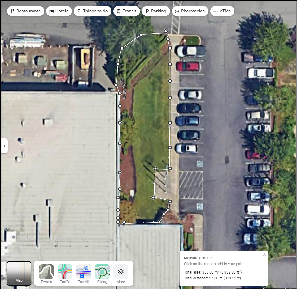
Click on the first point you made to complete the shape. Google Maps will automatically calculate the area within the shape. This is where the magic happens. Google Maps does all the calculations for you.
Note the area and distance from the widget

The measurement of the area will appear in the box at the bottom of the screen. This is the size of your lawn. Make sure to note this down or take a screenshot for future reference.
Drag points on the map to re-adjust

If you need to adjust the shape you’ve drawn, you can simply click and drag the points to the correct locations.
This is particularly handy if your lawn is irregular or you didn’t get the points right the first time.
Once you’re satisfied with the shape, Google Maps automatically updates the area calculation.